Busca de Publicações
Filtrar por:
 |
 Autoria: MACARRINGUE, L. S.; BOLFE, E. L.; PEREIRA, P. R. M. Abstract. Studies on land use and land cover changes (LULCC) have been a great concern due to their contribution to the policies formulation and strategic plans in different areas and at different sca... ... |
 Land use/land cover classification in a heterogeneous agricultural landscape using PlanetScope data. Autoria: BUENO, I. T.; ANTUNES, J. F. G.; TORO, A. P. S. G. D.; WERNER, J. P. S.; COUTINHO, A. C.; FIGUEIREDO, G. K. D. A.; LAMPARELLI, R. A. C.; ESQUERDO, J. C. D. M.; MAGALHÃES, P. S. G. This study evaluated the accuracy of LULC classification based on an initial clustering step in a heterogeneous agricultural landscape using PlanetScope imagery while checking for variability among th... ... |
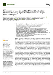
 Autoria: JONATHAN, M.; MEIRELLES, M. S. P.; BERROIR, J.-P.; HERLIN, I. This paper describes a methodology for systematic land use/land cover classification on a regional scale, with emphasis on a low cost and highly automatized approach. This methodology is based on mult... ... |
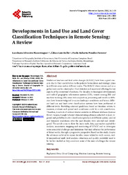
 Autoria: MACARRINGUE, L. S.; BOLFE, E. L.; DUVERGER, S. G.; SANO, E. E.; CALDAS, M. M.; FERREIRA, M. C.; ZULLO JUNIOR, J.; MATIAS, L. F. Accurate land use and land cover (LULC) mapping is essential for scientific and decision-making purposes. The objective of this paper was to map LULC classes in the northern region of Mozambique betwe... ... |
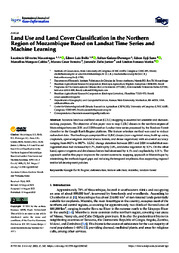
 Autoria: SILVA, J. L. P. DA; ARAÚJO JÚNIOR, G. DO N.; SILVA JUNIOR, F. B. DA; SILVA, T. G. F. DA; SILVA, J. B. A. DA; SCHEIBEL, C. H.; SILVA, M. V. DA; MINGOTI, R.; GIONGO, P. R.; ALMEIDA, A. C. DOS S. Abstract: The scarcity of information on agricultural development in the semi-arid region of Alagoas limits the spatial understanding of this activity. Government data are generally numerical and lack... ... |


Observações
1 - Por padrão são exibidas publicações dos últimos 20 anos. Para encontrar publicações mais antigas, configure o filtro ano de publicação, colocando o ano a partir do qual você deseja encontrar publicações. O filtro está na coluna da esquerda na busca acima.
2 - Para ler algumas publicações da Embrapa (apenas as que estão em formato ePub), é necessário ter, no celular ou computador, um desses softwares gratuitos. Sistemas Android: Google Play Livros; IOS: iBooks; Windows e Linux: software Calibre.
Acesse outras publicações
Acesse a Base de Dados da Pesquisa Agropecuária (BDPA) para consultar o acervo completo das bibliotecas da Embrapa.